.svg)

5 Technology Trends Driving Geoanalytics | West Loop Strategy
.jpeg)
Geo-Analytics - the combination of traditional analytics with additional location based data - is a rising data analysis tool that can help leaders gain additional insights into their businesses by adding location based context to all of their existing information. New technologies can further multiply the type and amount of data that can be extracted with geographic context. As these technologies continue to develop and grow, so too will geo-analytics rise in order for industries to meet the need to gain more detailed and contextual insight into the staggering amount of information available to them. At West Loop Strategy we believe that the following technologies and trends will contribute to this inevitable rise in geospatial analysis:
Drone Imagery
With the number of drone sales doubling from 2019 to 2020, Drone photography has seen tremendous growth in the past few years. [1] Specifically in agriculture and construction, businesses are using these drones to monitor large areas remotely, giving them detailed data that they can use to inform their decisions such as early spotting of areas that need additional attention or maintenance. Being able to extract and analyze the geospatial information from the drone flights and photos is key when trying to gain actionable information. At West Loop Strategy we have worked extensively with drones, using these amazing devices to generate data that is the foundation of custom web applications.
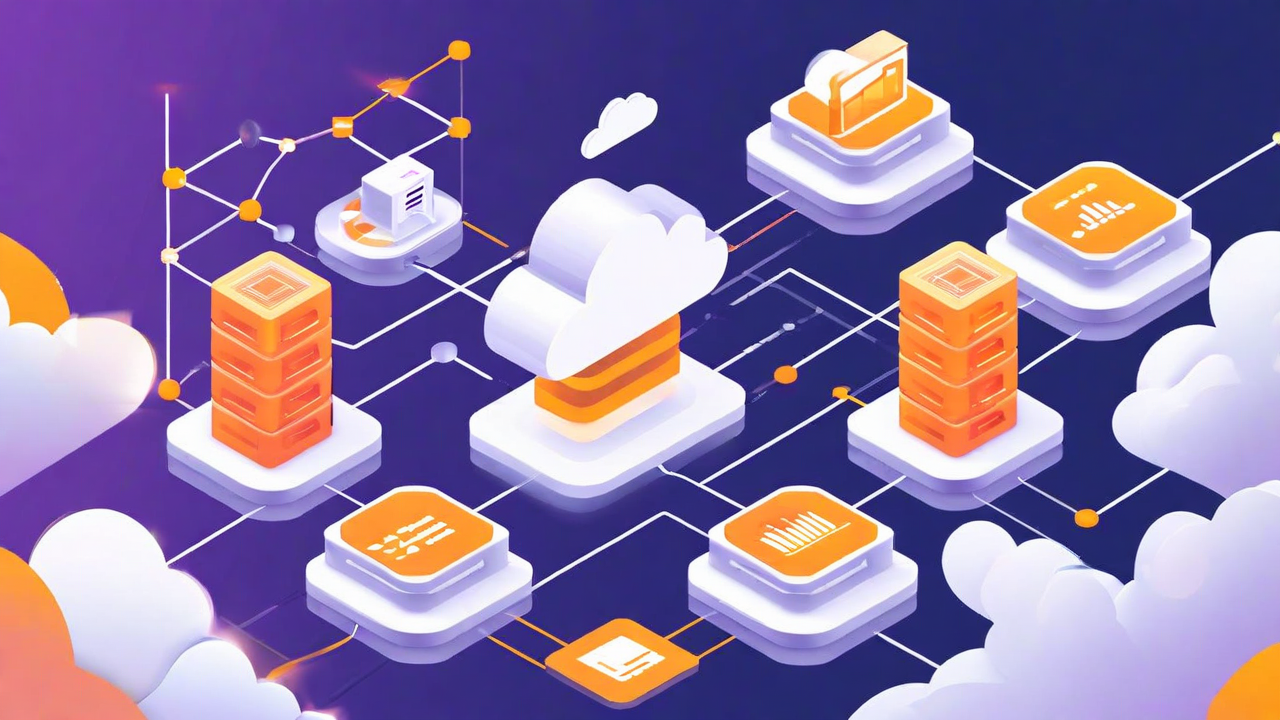
Cheap Cloud Data Storage
Geospatial data is not small. Detailed aerial imagery can come in files that are 10s of gigabytes and depending on the level of detail, even a GeoJSON representation of a polygon can be too large to be transmitted over particular cloud data APIs. That being said, the cost of storage, especially on the cloud, is plummeting. Using the cloud and the associated infrastructure that can be built on top of the essentially unlimited storage allows anyone to easily manage their geospatial data and build tools to use and analyze it.
The Rise of Machine Learning
Machine learning is the latest and greatest in technology right now and for good reason. Super computers like Watson and AlphaGo have demonstrated that computers have closed the gap in certain areas of decision making and - more relevantly - pattern recognition. Combining the wealth of imagery from drones with machine learning models can result in incredible automated tools that can proactively identify patterns of interest in your images such as defects (such as cracks in a building foundation) and areas of concern (an area of wilted crops).
The Internet of Things
Digital internet connected devices are exploding in popularity. Each of these has the potential to become a source of geographic data. We’ve already touched on drones, and the most popular IoT device, the smartphone, is a rich source of information. Companies aggregate GPS data from smartphones to track trends such as consumer retail activity and, more recently, COVID contact tracing and the effectiveness of lockdown measures. Newer technologies such as home sensors also have the potential to be new sources of information that can be aggregated to show patterns over large geographic areas. The pervasiveness of these new devices lends itself to location based analysis and we will continue to see innovation in this area.
Business Intelligence Integrations
Raw data does no good for anyone if there is no way to clean, aggregate, and analyze it. BI solutions such as Amazon Quicksight are quickly innovating to allow combining disparate data sets and analyzing them in unique ways. Geographic visualizations are particularly becoming more advanced - the coverage of November’s election had map based visualizations up and running on national news channels for a week straight. As BI tools continue to innovate in running efficient analyses of geographic data and continue to allow users to integrate with various data sources, geo-analytics will become more prevalent as businesses realize the value in adding additional context to their current data sets.